Forest-science professional specialising in ecology, biodiversity, and ecosystem services across the Sundarbans and Bangladesh's most critical natural landscapes.
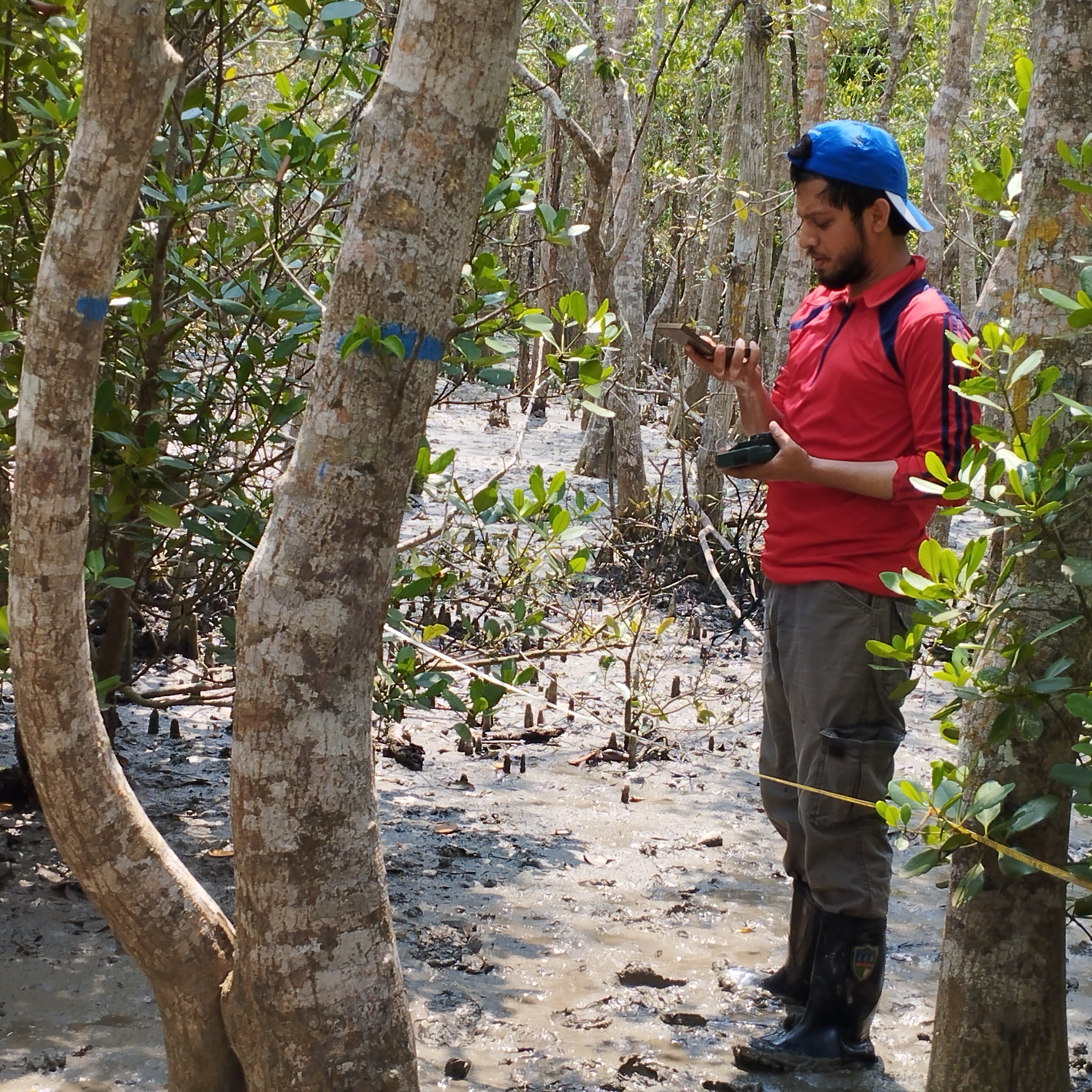
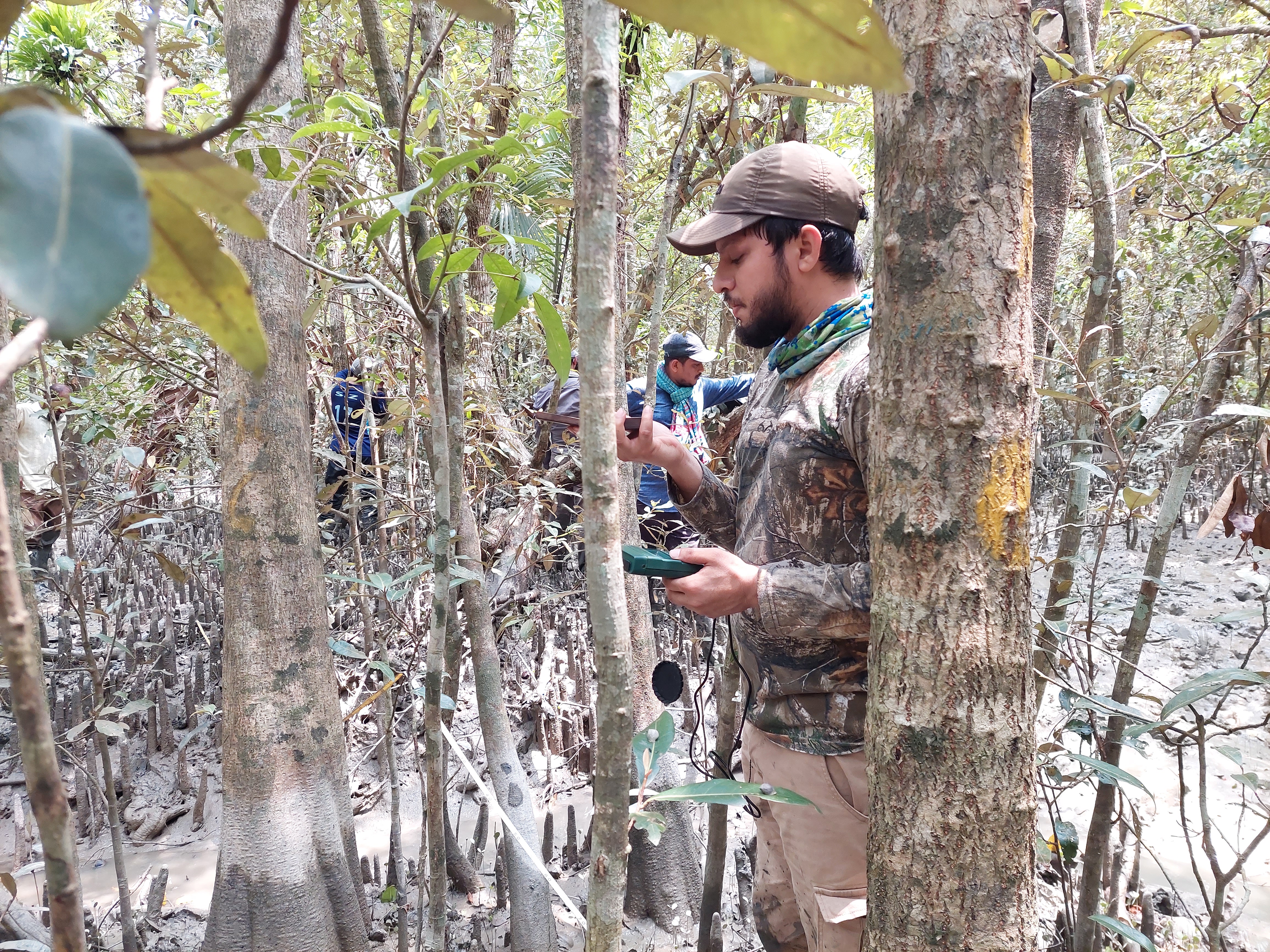
Conducting forest health assessment in the Sundarbans mangrove belt — the world's largest mangrove ecosystem, spanning the Bay of Bengal.
Profile
— Naif in the field, 2022 —
"The forest does not reveal its secrets to those who merely pass through. It speaks only to those who stay long enough to listen."
Forest-science professional from Bangladesh with 5+ years of experience in ecology, forestry, and biodiversity. Currently working as a Research Consultant at CEGIS under the Ministry of Water Resources.
Focus areas include forest health monitoring, biodiversity surveys, afforestation/reforestation, landscape restoration planning, environmental impact assessment, and ecosystem services assessment. Experienced across the Sundarbans, Chittagong Hill Tracts, wetlands, and coastal regions.
Career
Forest & ecosystem research, extensive field surveys, ecological data collection & QA/QC, analysis, technical reporting, and proposal preparation. Work spans forest health monitoring, regeneration studies, species diversity, canopy/light assessment, and soil sampling. Tools: Range Finder, Spherical Densiometer, GPS, Lux Meter.
Oversaw disaster risk reduction in Rohingya refugee camps via afforestation and structural interventions, data collection, database management, and operational reporting including weekly updates, operational plans, beneficiary databases, and distribution reports.
Lab analysis for soil texture, bulk density, organic carbon and plant nutrients (N, P, K, Na), EC & pH. Contributed to establishing Bangladesh's first soil archive and to the Bangladesh Forest Inventory project through sample processing, database development, and analysis.
Fieldwork
Long-term ecological assessment of the world's largest mangrove forest system.
Environmental & social impact assessment for UNDP Rohingya settlement operations.
Implementing NbS strategies for flood and climate resilience in vulnerable communities.
Additional Field Projects
Competencies
ArcGIS Pro, ArcGIS Survey123 — map creation, digitizing, overlays, interpolation.
Range Finder, Spherical Densiometer, GPS, Lux Meter, soil sampling equipment.
R for statistical analysis; ODK Collect; i-Tree Eco; MS Office suite.
ESIA, ecosystem services assessment, strategic environmental evaluation (SEA).
Forest health monitoring, biodiversity inventory, soil carbon & biogeochemical analysis.
Technical report writing, QA/QC, database development, proposal preparation.
Continuous Learning
ArcGIS Pro
CEGIS — Apr 9–13, 2025Earth Observation for Forest Carbon Estimation / Degradation Monitoring
ICIMOD — Apr 29–May 2, 2024LiDAR-based UAV Technology for Forest Management
Busan Technopark / BFD / CEGIS — Nov–Dec 2023Urban Tree Inventory using i-Tree Eco
USFS Compass — Sep 28–29, 2023Practitioner's Course on ESIA
CEGIS — Apr 9–12, 2023Vascular Plant Survey & Herbarium Techniques
Bangladesh National Herbarium — Oct 2022Forestry & Agroforestry Technology for Professionals
BARC — Mar 2–3, 2022Allometric Equation Development (Hill Zone)
BFD / FAO / Khulna Univ. — Mar–Apr 2018Research Methodology
HEQEP CP-4035 / Khulna Univ. — Jan 2018Research Output
Ecological Conservation Science
Ocean & Coastal Management
Modeling Earth Systems & Environment
Variation across saline zones — Khulna University
ArcMap 10.2.1 spatial mapping — Khulna University
Correspondence
Open to research collaborations, consultancy enquiries, and academic partnerships in forest ecology, biodiversity assessment, and environmental impact evaluation.
Center for Environmental & Geographic Information Services (CEGIS)
Ministry of Water Resources
Bangladesh